
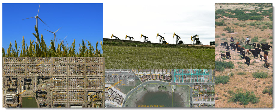
Energy Infrastructure
GIS, with integrated surveying and database management, along with map production and modeling support, is considered the essential information technology for land records management and solutions.
Oil, Gas and Wind Infrastructure
 Pipeline,
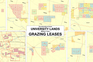
Mineral and Grazing Leases
Pipeline,
Mineral and Grazing Leases
A series of geodatabase and application development projects were developed for the University of Texas System - University Lands. A geodatabase of over 5,000 pipeline easements was developed by interpreting legal descriptions from old land survey documents using ArcGIS and the Survey Analyst Extension. The Mineral Leases geodatabase included geocoding locations of over 15,000 oil and gas wells and attributing each one individually by interpreting RailRoad Commission data. The mineral lease areas were created integrating ArcSDE with a third-party application to automatically create lease polygons from legal descriptions using a basemap of block/section/survey/abstract data. These feature classes were created for an area encompassing over 2.1 million acres in West Texas.
The Grazing Leases geodatabase was built by a team of CGST undergraduate students and staff over a period of six months. To capture the grazing lease data layers, 60 NRCS conservation plan maps were scanned and rectified to USGS DOQs. The lease features were then digitized from the scanned images. The principal data layers included the University Lands boundary, grazing lease boundaries, pastures, fence lines, water lines, water point features and cultural point features. To ensure quality map products a topology was built with nine rules among four feature classes. In addition, a feature class of ecological or range sites was developed from SSURGO data to assist University Lands field staff with range planning and management.
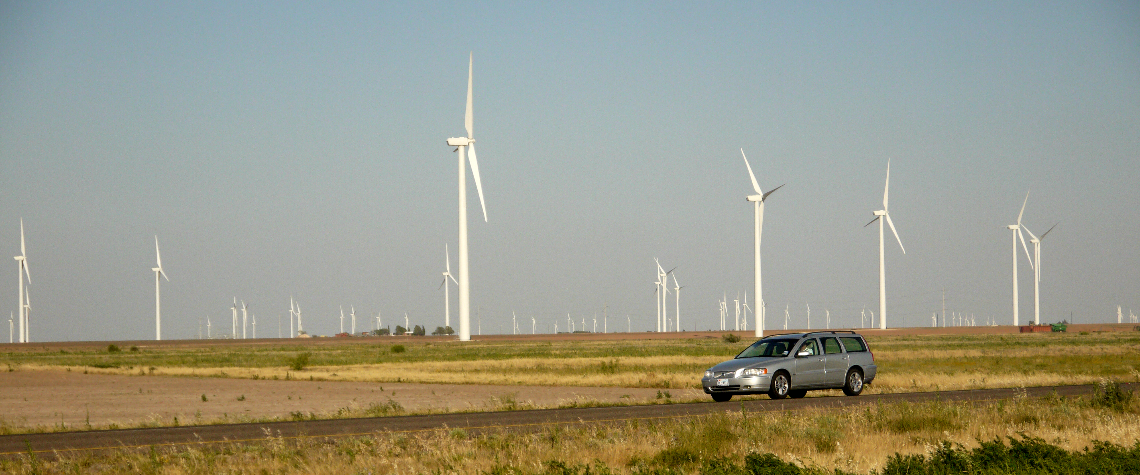 Wind Turbine Mapper
Mapping wind turbines across
West Texas