About Playa Wetlands
Source: Texas Tech Today:Protecting Our Precious Playas 19th March 2008
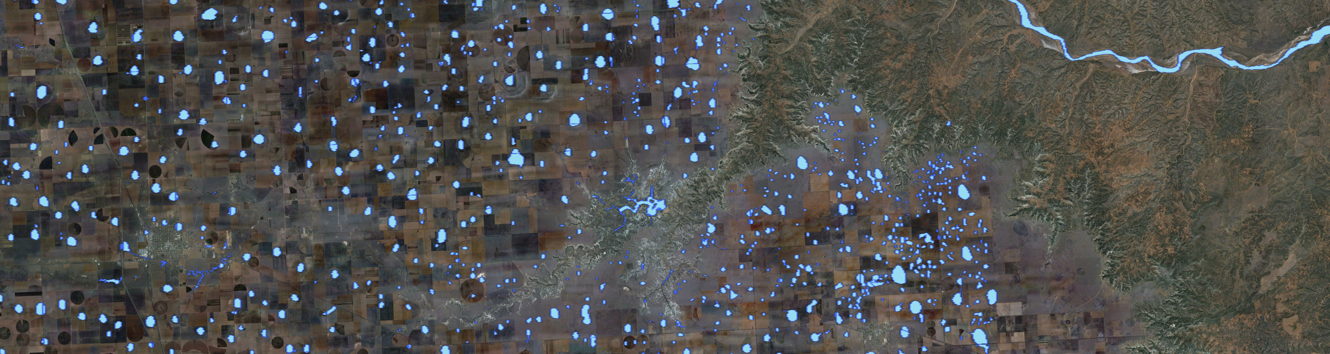
Playas are small, shallow intermittent lakes situated in topographic depressions (Cowardin et al., 1979). On the western Great Plains of the United States, playas are unquiquitous features on the landscape - with estimated numbers in the tens of thousands.
These playa wetlands are very important to the the ecology of the region. In the semi-arid environment of the western Great Plains, playas provide crtitcal habitat for migratory birds and local wildlife. Moreover, in those areas where playas overlie the Ogallala Aquifer, research suggests that at least some of the water captured in playas infiltrates to recharge the aquifer. With tens of thousands of playas overlying the Ogalalla Aquifer, especially on the southern High Plains, groundwater recharge through playas is likely a significant component of the water budget.
Mapping Playa Wetlands

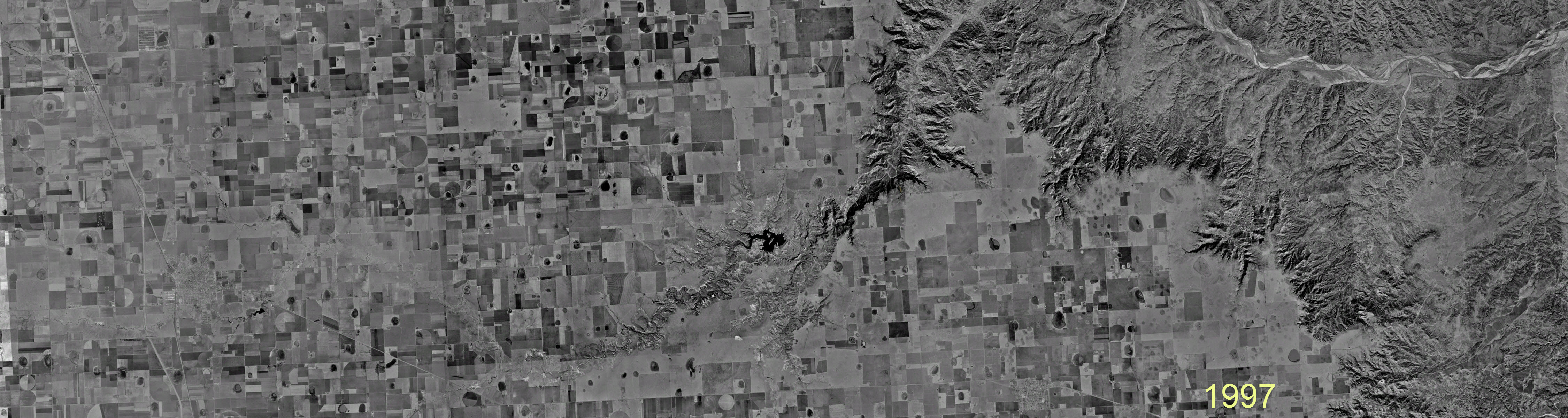
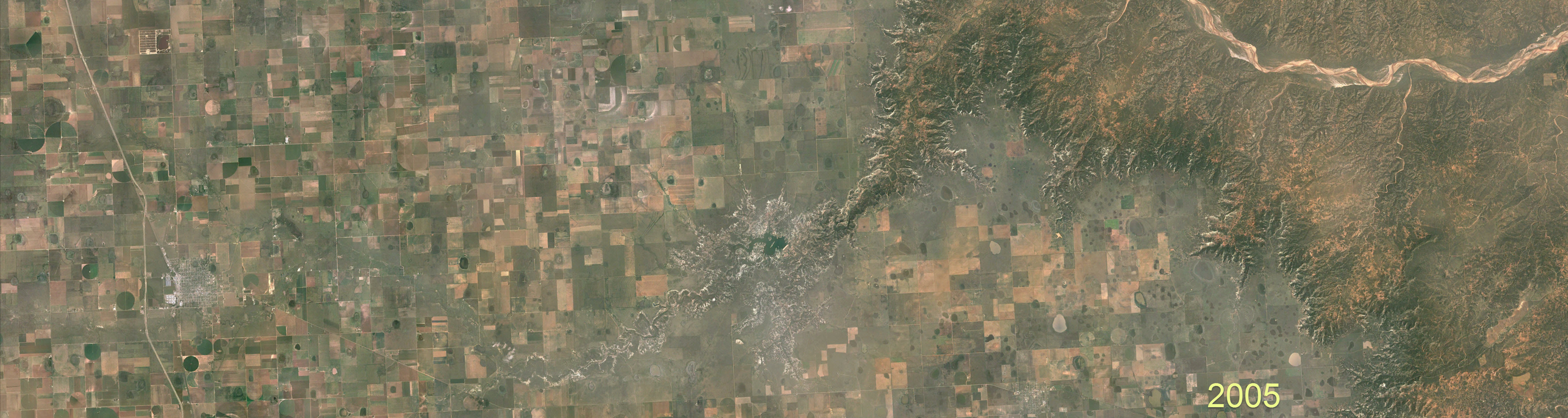
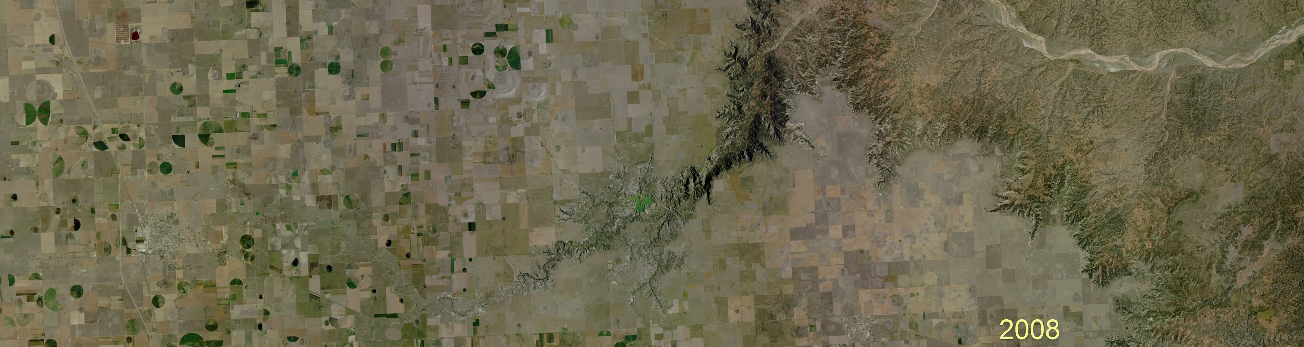
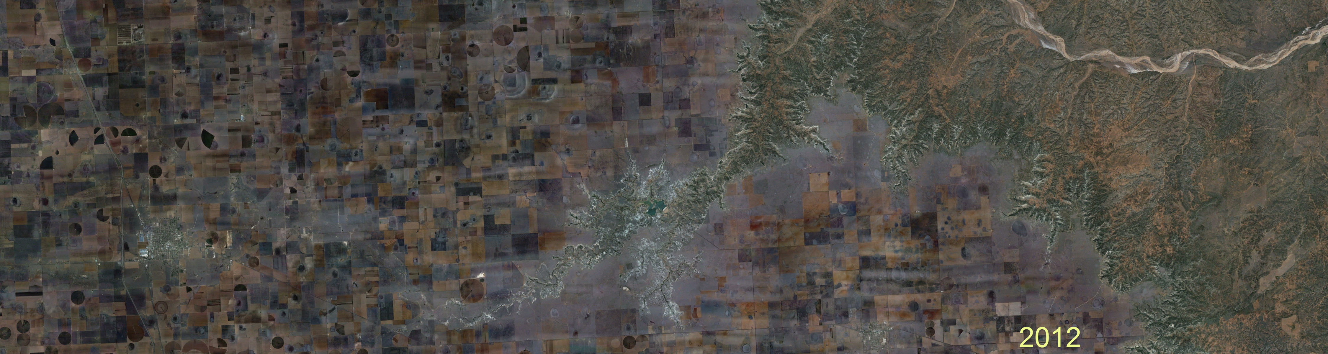
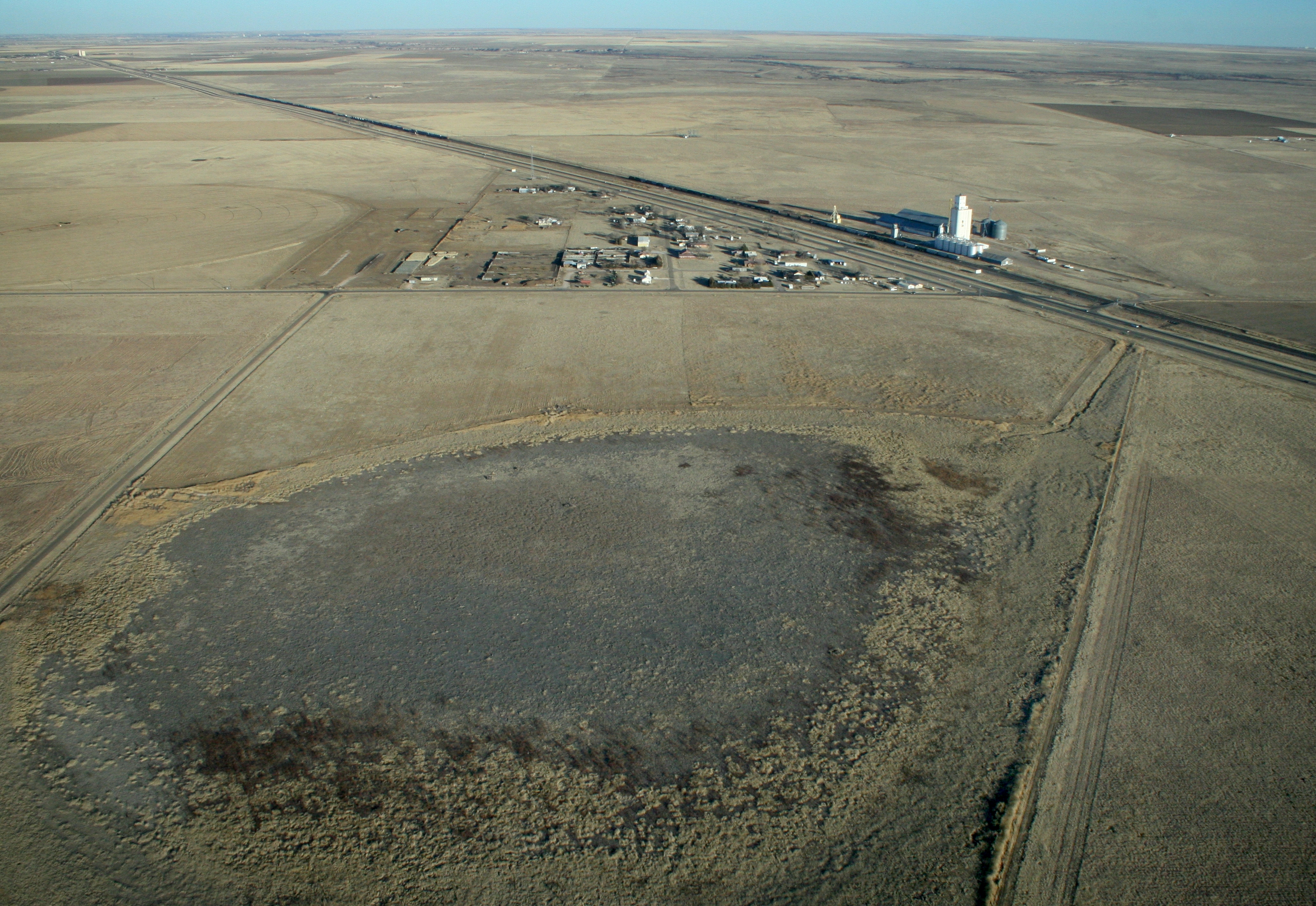
Source: Google Earth, Lynn County, Texas
Why Map Playas?
On the southern High Plains of the United States, tens of thousands of playas overlie the Ogallala Aquifer. Playa wetlands form in small, shallow topographic depressions on the landscape of the western Great Plains. In particular, there are tens of thousands of playas on the Llano Estacado, a high plateau that forms the bulk of the southern High Plains. These playas overlie the Ogallala Aquifer and represent a potential source of recharge.
While considerable research has focused on the hydrology of playas, it is difficult to extrapolate these findings to an analysis on a regional scale.
Some Definitions
What is a "Playa"?
The term "playa" is a Spanish language word meaning beach. In this context, the term is also commonly used in place names such as Playa del Carmen, Mexico.
Desert Playas
In the English language, the term "playa" is most commonly used to describe the ephemeral lakes found in the southwestern United States and northwestern Mexico. These desert playas are formed in basins with internal drainage and the term playa is roughly synonymous with a dry lake bed or, in some cases, an alkali flat.
Playas on the Great Plains
On the western Great Plains of the United States, the term "playa" is used to describe the tens of thousands of small, shallow intermittent lakes that form in topographic deprressions. Unlike desert playas, these playas tend to be much smaller in size (about 1-20 acres), their form tends to much more circular, and they are characterized by a unique wetland ecology. Given that natural playas sustain wetland vegetation, we view the terms "playa" and "playa wetland" as synonymous..
The term "playa lake" is also used to describe playas - although some reserve this term to reference permanent urban playas. We like this distinction because most urban playas are now permananet lakes and they have lost their function as a true wetland. Nevertheless, the two terms are widely taken to be synonymous - and that is not likely to change.
So in the end we have three terms. The small, shallow ephemeral lakes found on the western Great Plains can be described as playas, playa wetlands or playa lakes - and there is no real distiction between the three.
Acknowledgement
U.S. Department of Agriculture,
Agricultural Research Service,
Ogallala Aquifer Program
The development of the playa wetlands
geodatabase and web-mapping application
was made possible through the support of
the U.S.D.A., Agricultural Research
Service, Ogallala Aquifer Program (OAP).
The OAP is dedicated to sustaining rural
comunities through new water management
technologies.
Learn more...