
Playa Conservation
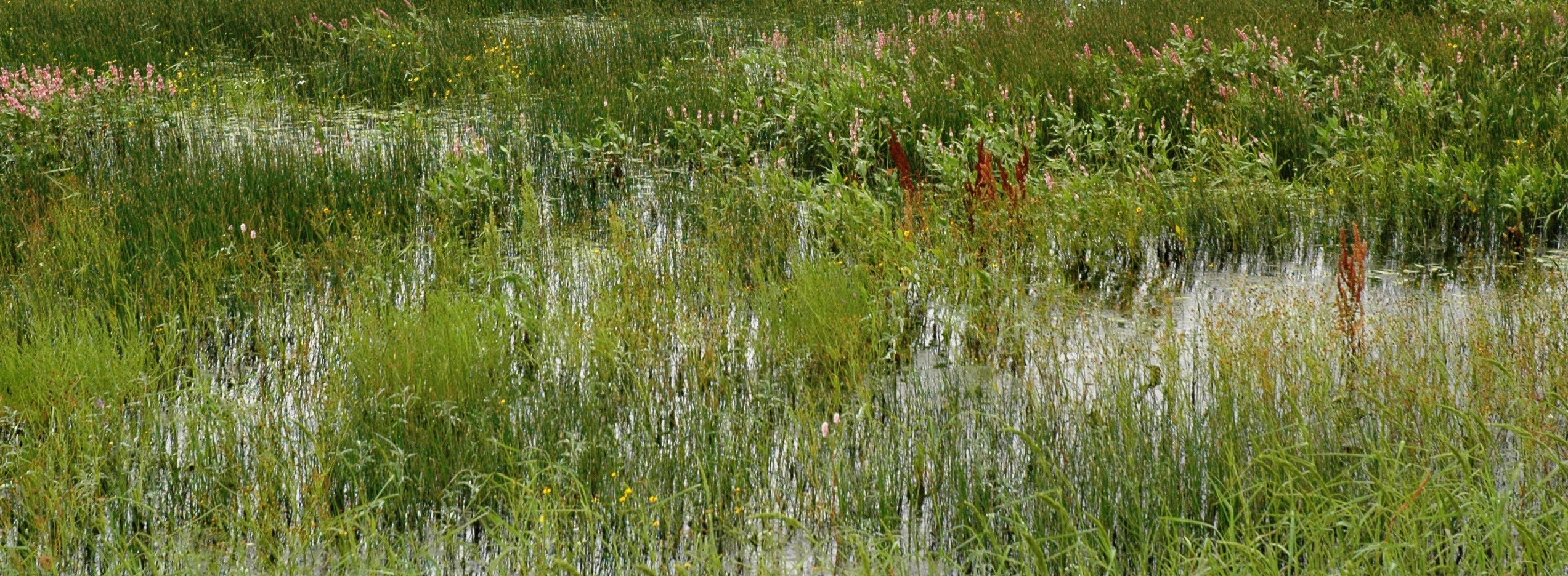
Playa wetlands are ubiquitous on the landscape of the southern High Plains. These small, shallow intermittent lakes are formed when runoff is captured in local topographic depressions. In the semi-arid environment extending from west Texas to western Nebraska, playas provide critical habitat for local wildlife and migratory birds. Moreover, in those areas where playas overlie the Ogallala Aquifer, research suggests that at least some of the water captured in playas infiltrates to recharge the aquifer. With tens of thousands of playas overlying the Ogallala Aquifer, especially on the southern High Plains, groundwater recharge through playas is likely a significant component of the water budget.
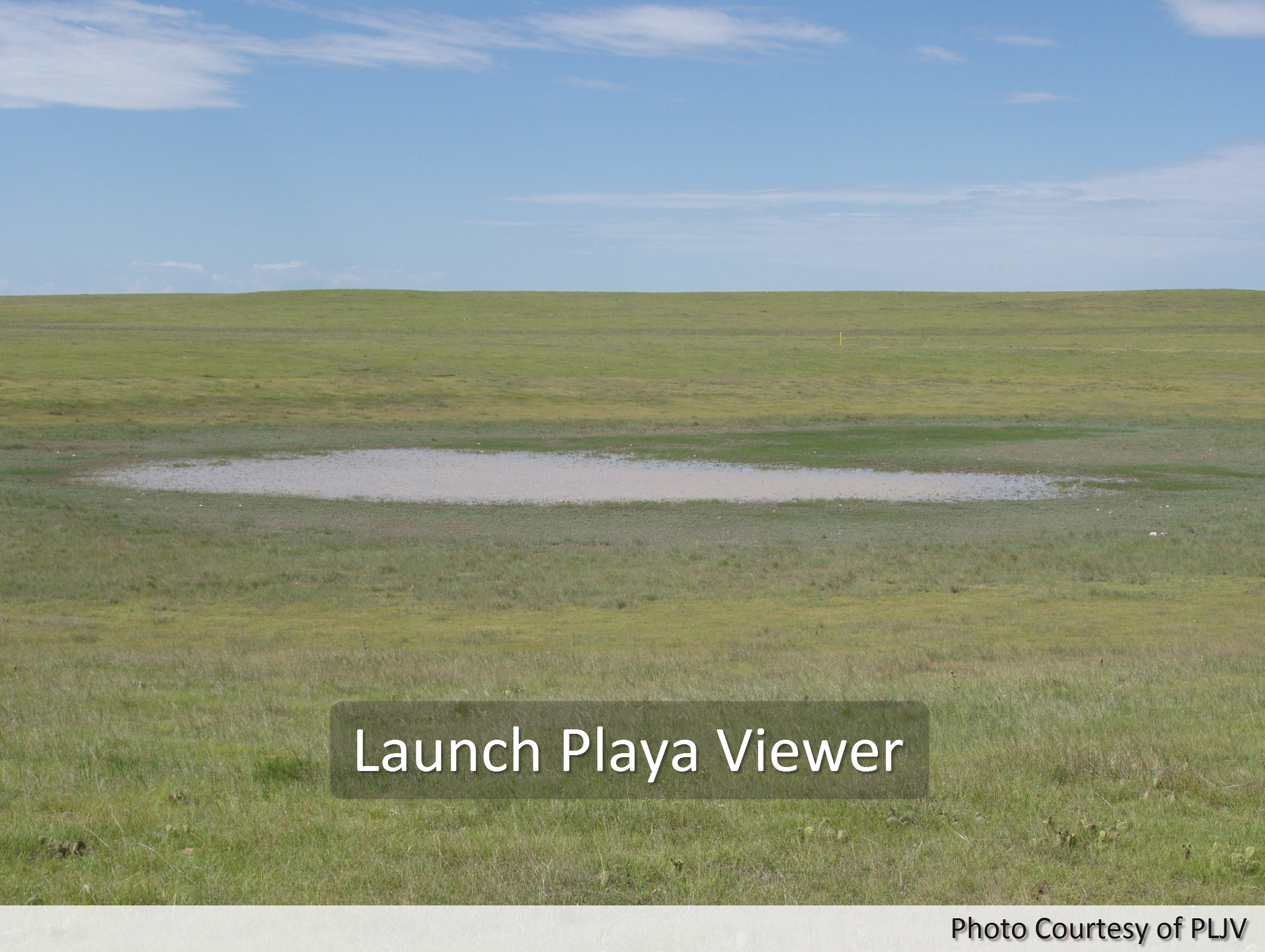
To facilitate research on groundwater recharge, a comprehensive playa geodatabase and web mapping application (PWD) was designed developed focused on the area overlying the Ogallala Aquifer. Together, the geodatabase and web application provide researchers, water managers and the public with the information and tools necessary to support decisions concerned with water management and wetland preservation.
The PWD web map application displays playas, riparian features, lakes, impoundments, manmade features, soil data, Ogallala boundary, and reference layers in an interactive web viewer.Playas and Wetlands Database
|