2026 Field Research Program
Interested? Read the Landmark Volunteer Information Guide.
Then fill out a Volunteer Application Form.
Field Season 2026 Volunteer Schedule
- First Session: May 31 - July 12
Post research or Slaton research area
Sunday, May 31: Volunteers Arrive
Monday, June 1: Volunteer Orientation
Sunday, July 12: Volunteers Depart - Second Session: July 12 - August 23
Post research area/Lubbock Lake Landmark
Sunday, July 12: Volunteers Arrive
Monday, July 13: Volunteer Orientation
Sunday, August 23: Volunteers Depart
Upon review of the application form and two letters of recommendation, volunteers are provisionally accepted into the Landmark's regional research program. Following provisional acceptance, volunteers must email the Landmark's medical history form filled out by a licensed physician, proof of current tetanus vaccination, and proof of adequate and appropriate health insurance during their stay at Lubbock Lake Landmark to Dr. Johnson at eileen.johnson@ttu.edu .
Apply early to ensure a placement.
Overview
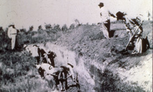
For more than 50 years, the Lubbock Lake Landmark Regional Research Program has conducted summer field research on the Southern High Plains of Texas. Each summer, volunteers from around the world join our professional staff to help uncover the region’s deep history through archaeology, geology, and paleontology.
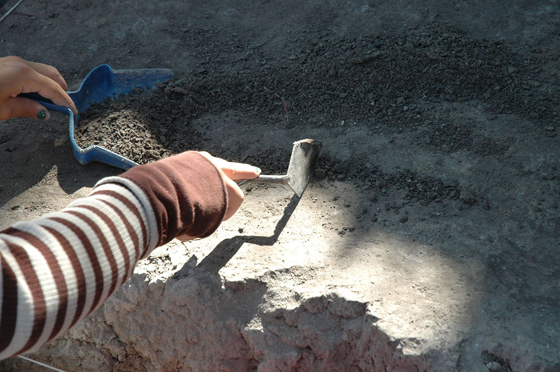
The work is exciting, challenging, and rewarding. Field conditions are rigorous—expect hot, dry, and dusty weather, long days outdoors, and hands-on work in excavation units and labs. Volunteers should be physically prepared and ready to work as part of a close team.
In return, participants gain practical experience in real research. You’ll learn how scientists investigate ancient environments and past human life through excavation, mapping, and lab analysis—all while contributing to one of the longest-running continuous field programs in North America.
Cost
There is no cost; room and board are provided.
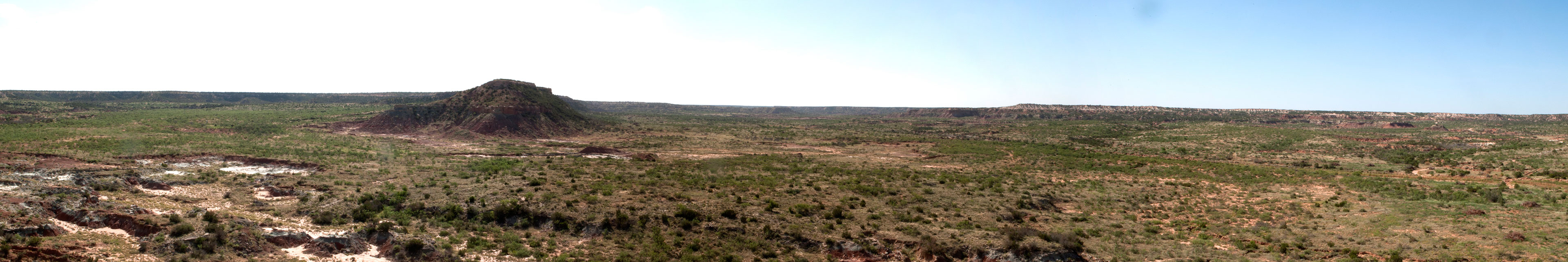
Where We Work
The Lubbock Lake Landmark
The Lubbock Lake Landmark is a nationally recognized archaeological and natural history preserve located in Lubbock, Texas. Research here focuses on how people and environments have interacted over the last 12,000 years. Excavations at the Landmark uncover the remains of ancient campsites, animal bones, hearths, and tools that tell the story of how humans adapted to changing climates and landscapes on the Southern High Plains.
Post Research Area
About an hour southeast of Lubbock lies the Post Research Area, a large working ranch that has been preserved with minimal disturbance for more than a century. This ranchland offers a rare glimpse of how people and animals used this landscape over thousands of years.
Slaton Research Area
The Slaton Research Area is located between the Post Research Area and the Lubbock Lake Landmark. The Slaton Research Area is another historic ranch that also provides significant research opportunities in both prehistoric and historic archaeology.
What to Expect
- Outdoor fieldwork in hot, dry, and often windy conditions
- Hands-on excavation and survey under professional supervision
- Team-based work with students, researchers, and volunteers from around the world
- Basic laboratory activities such as washing and sorting