Planetary Science

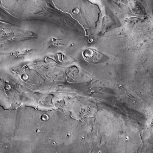
Ongoing research in the realm of remote sensing and planetary science involves study of lunar and Martian volcanic and hydrologic landforms, lunar heat flow, and the tectonics of icy satellites. Geographical Information Systems (GIS) are used to represent, integrate, model, and analyze various spatial data sets. In addition, experimental spectral analysis of Earth materials is conducted to calibrate remotely sensed images and data.
Faculty
Dr. David Leverington, volcanic and hydrologic landforms on the Moon, Venus, and Mars.
Dr. Seiichi Nagihara, lunar heat flow, NASA InSight Mission to Mars
Dr. Aaron Yoshinobu, tectonics of icy satellites.
Research Facilities
Remote sensing and geographic information systems
Courses
- GEOL 4310 Planetary Geology
- GEOL 4331/5341 Digital Imagery in Geosciences
Geology and Geophysics
-
Address
Texas Tech University, 2500 Broadway, Lubbock, TX 79409 -
Phone
806.742.3102 -
Email
geosciences@ttu.edu
