
Parcel Mapping
A County Appraisal District is the organization responsible for appraising property values and collecting property taxes in a County. When these rural districts were established, they maintained their tax parcel information on paper maps.In recent years, these appraisal districts are in the process of converting their paper maps into digital format.The appraisal district project consists of physical design, concepts and procedures necessary to create a geographic information system (GIS) geodatabase of easements for the appraisal district, which combine the paper map management and appraisal information into one system.
Cadastral Mapping
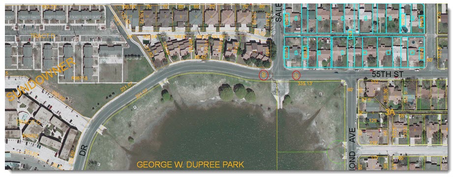
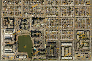 Lubbock CAD Parcel Realignment
The primary purpose of this project wass to support LCAD by aligning the tax parcels to the 6 inch resolution aerial imagery. This project involved moving over 112,000 parcels to align them with underlying orthographic aerial imagery within the city of Lubbock and surrounding municipalities.
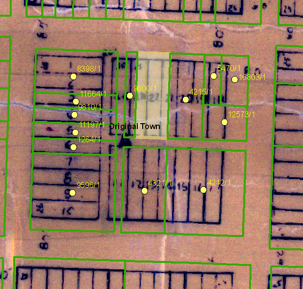
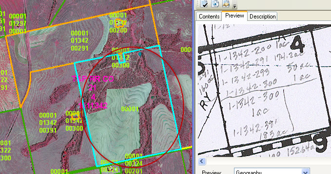
 Dawson CAD Parcel Mapping
The primary purpose of this project was to create a geographic information system (GIS) geodatabase of tax parcels for the Dawson County Appraisal District (DCAD), which combine the paper map management and appraisal information into one system.
 Lynn CAD Parcel Mapping
The goal of this project was to develop a Geographic Information System (GIS) of tax parcels which were originally on paper maps, that correspond to the appraisal records in a SQL database. The GIS combined the paper map management and appraisal information into one system. Ultimately the GIS parcels was joined to the SQL tables to associate the appraisal information to the geographic location of each parcel.
 Fisher CAD Parcel Mapping
The primary purpose of this project was to automate Fisher County paper maps into a (GIS) geodatabase of tax parcels for the Fisher County Appraisal District (FCAD).
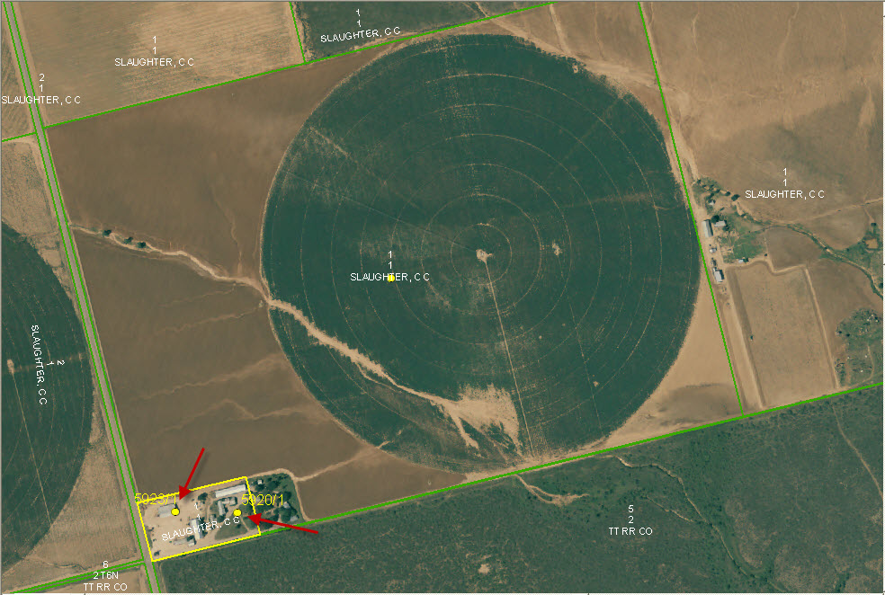
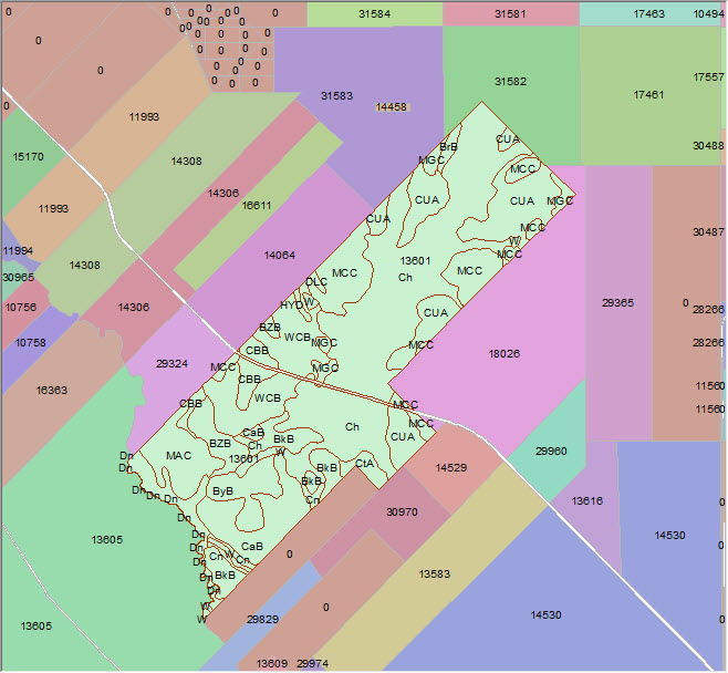 Val Verde and LaSalle CAD Soil Attribution
The primary purpose of this project was to create automated models to capture soil information under each parcel.