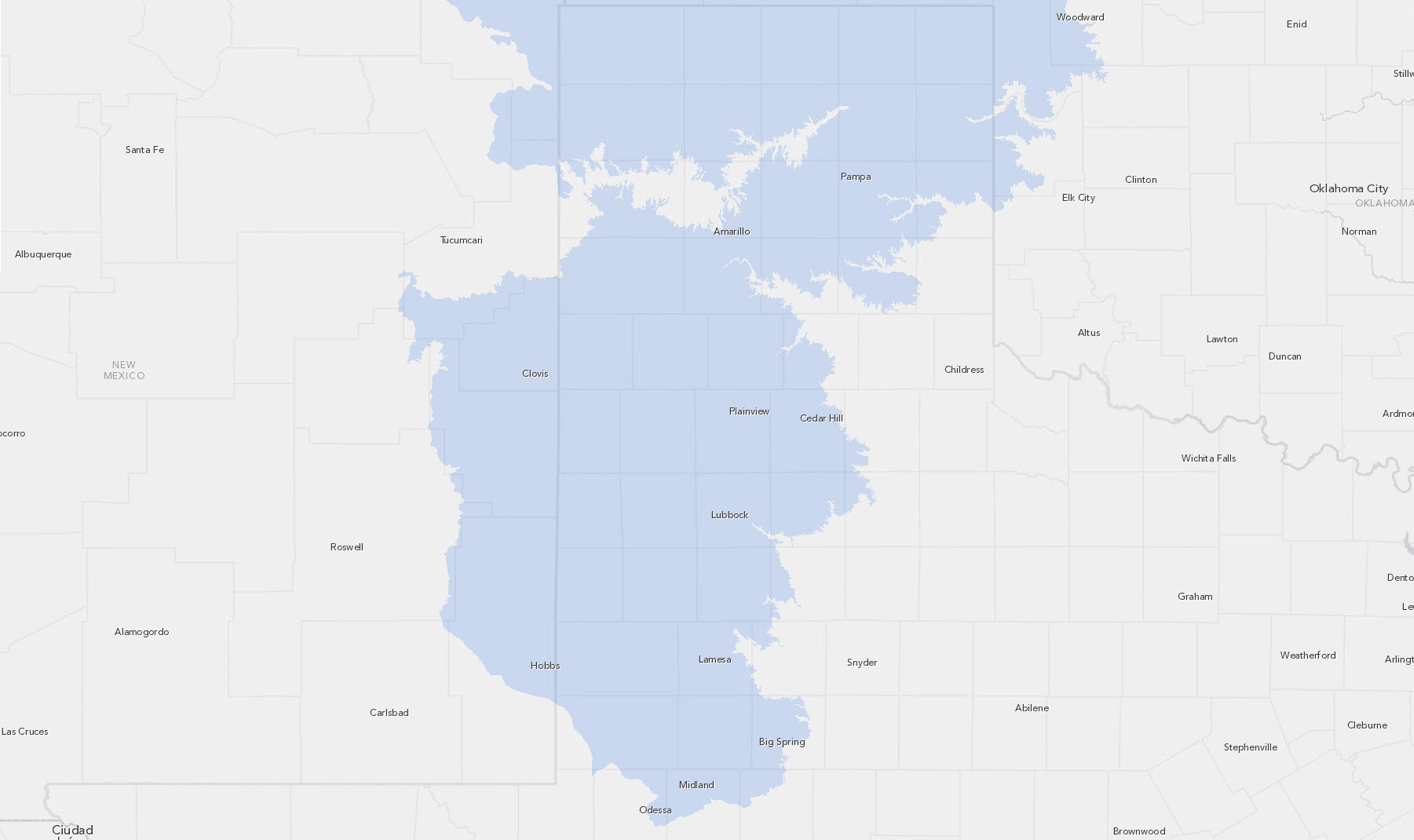
Ogallala Aquifer

Ogallala Aquifer MappingThe Ogallala Aquifer provides water resources for the extensive agricultural assets and population of West Texas and the Great Plains. Therefore, the Center for Geospatial Technology has developed a GIS repository of data and map products for researchers to better understand, to help preserve, and to protect this valuable resource. Read More... |
