
GIS Database Development
A spatial database is a database that is enhanced to store and access spatial data or data that defines a geometric space. These data are often associated with geographic locations and features, or constructed features like cities. Data on spatial databases are stored as coordinates, points, lines, polygons and topology. Some spatial databases handle more complex data like three-dimensional objects, topological coverage and linear networks.
 Playas and Wetlands Database
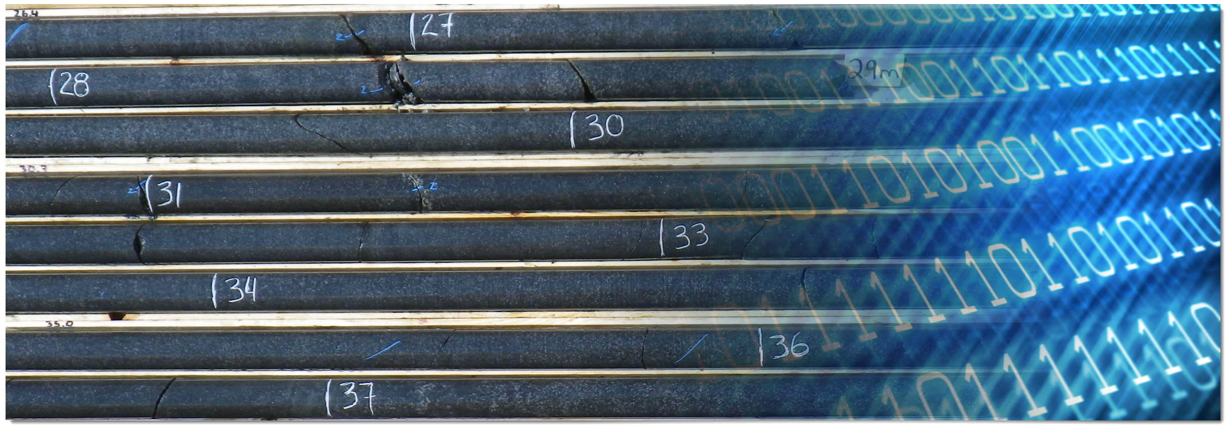
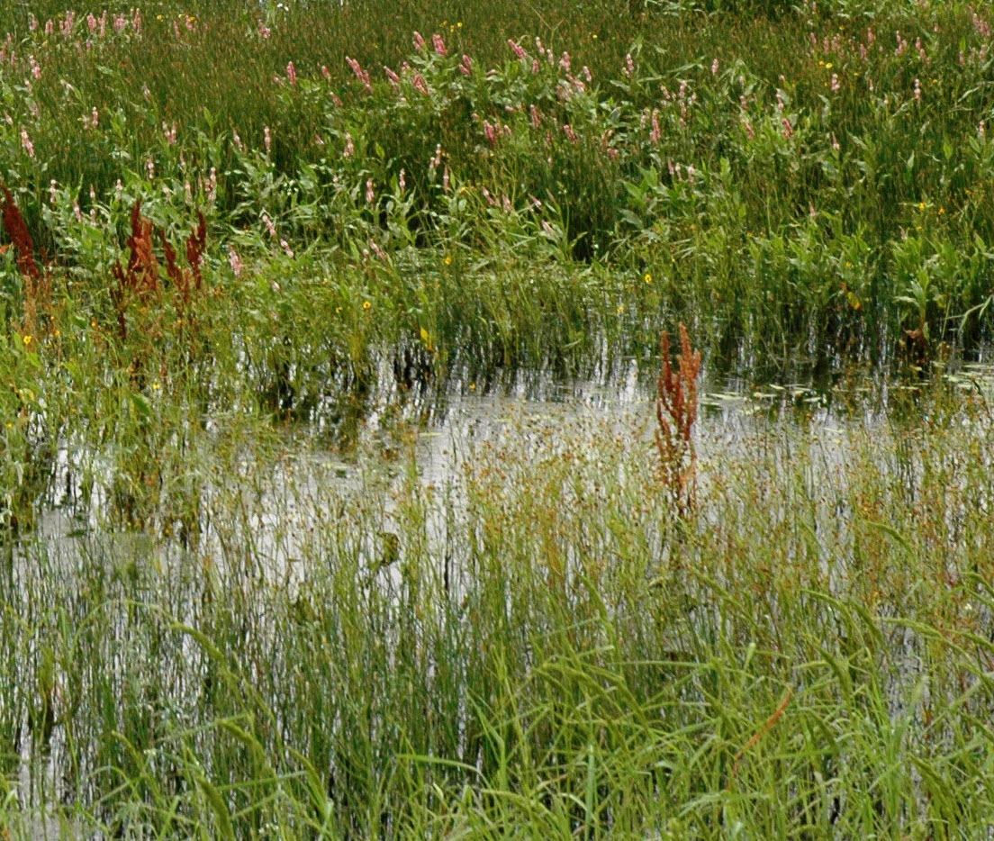
The Llano Estacado region of West Texas and Eastern New Mexico contains tens of thousands of small playa lakes. The purpose of this project is to map and classify the playa lakes for the National Wetlands Inventory. The playa lakes are delineated by first using a soils database (SSURGO), and then photo-interpreting the playas with a digital orthophoto image in the background. The soil features used in the initial interpretation are those with a hydric or wet signature. The soil polygons are then delineated using GIS tools and procedures to reshape them to the wet areas on the image. This process produces the playa polygon features.
 Cadastral Database
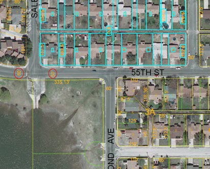
A County Appraisal District is the organization responsible for appraising property values and collecting property taxes in a County. When these rural districts were established, they maintained their tax parcel information on paper maps.In recent years, these appraisal districts are in the process of converting their paper maps into digital format.
The appraisal district project consists of physical design, concepts and procedures necessary to create a geographic information system (GIS) geodatabase of easements for the appraisal district, which combine the paper map management and appraisal information into one system.
 HPWD Wells Database
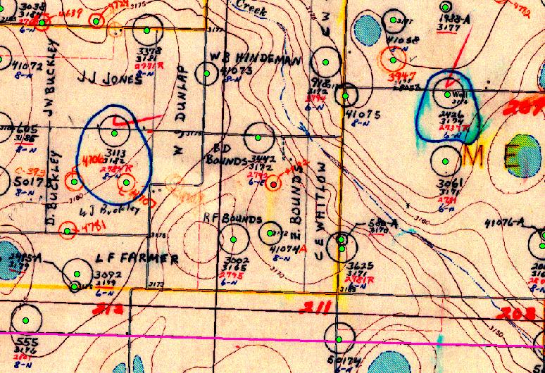
The District collects water level measurements for state observation wells annually.Maps of water levels were made by integrating the water level data with a GIS database of existing of District wells. Additionally contour lines showing the water level change were generated as well as maps of two-dimensional interpolated surfaces of water level and changes in water levels over time.
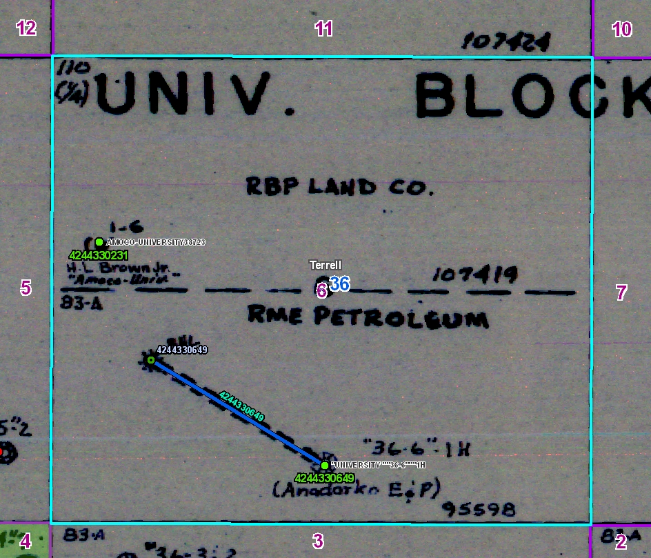
 North Plains GCD Water Properties Database
The goal of this project is to develop a Geographic Information System (GIS) layer of properties that correspond to the property records in the SQL database. This initial effort is designed as a way to link the GIS to the SQL database to streamline location and queries of properties and wells located on those properties. The Property features were joined to the SQL database by a common Property ID.
 University Lands Mineral, Grazing and Pipeline Lease Database
The Grazing Leases geodatabase was built by a team of CGST undergraduate students and staff over a period of six months. To capture the grazing lease data layers, 60 NRCS conservation
plan maps were scanned and rectified to USGS DOQs. The lease features were then digitized from the scanned images.The principal data layers included the University Lands boundary,grazing lease boundaries, pastures, fence lines, water lines,
water point features and cultural point features. To ensure quality map products a topology was built with nine rules among four feature classes. In addition, a feature class of ecological or range sites was developed from SSURGO data to assist
University Lands field staff with range planning and management.