
Texas GIS Data
Boundaries |
||
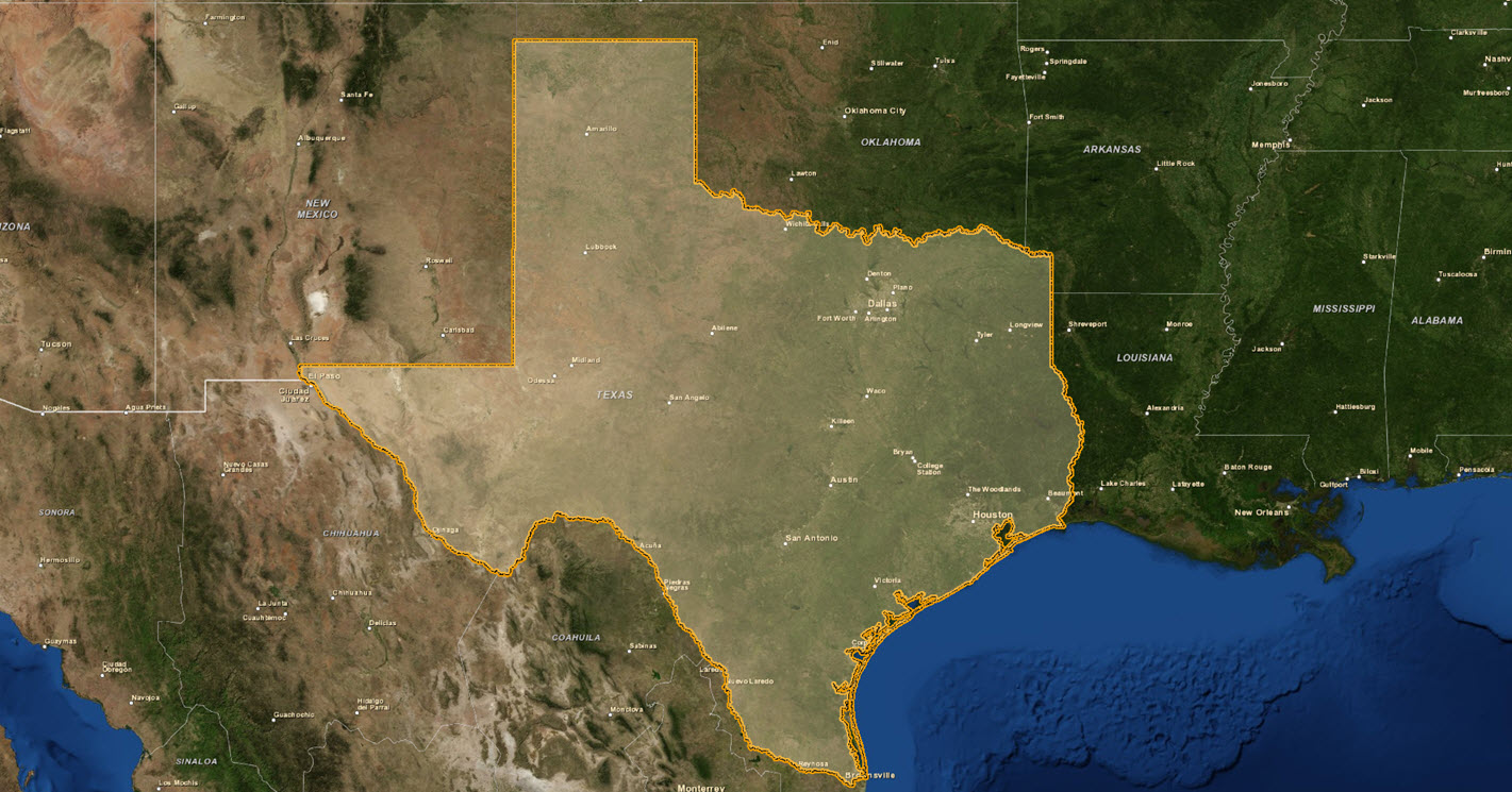
| Texas State Boundary - TIGER Census |
|
|
| Texas Boundary - Jurisdictional | Download | View Metadata |
| Texas Boundary w/ Counties - Jurisdictional | Download | View Metadata |
| Texas Boundary - High Resolution | Download | View Metadata |
| Texas Boundary w/ Counties - High Resolution | Download | View Metadata |
| Texas Boundary - Low Resolution | Download | View Metadata |
| Texas Boundary w/ County Subdivisions - High Resolution | Download | View Metadata |
| Texas State Boundary - TNRIS Stratmap |
|
|
| Texas Boundary - Jurisdictional | Download | View Metadata |
| Texas Boundary w/ Counties - Jurisdictional | Download | View Metadata |
| Texas Boundary - High Resolution | Download | View Metadata |
| Texas Boundary w/ Counties - High Resolution | Download | View Metadata |
| Texas State Boundary - TTU |
|
|
| Texas Boundary - Ultra High Resolution | Download | View Metadata |
| Texas Boundary - High Resolution | Download | View Metadata |
| Texas Boundary w/ Smooth Coast - Low Resolution | Download | View Metadata |
| Texas Boundary w/ Counties and Smooth Coast - Low Resolution | Download | View Metadata |
Boundaries with Census Attributes |
||
| Texas State Boundary |
|
|
| Texas Boundary - Jurisdictional | Download | View Metadata |
| Texas Boundary - High Resolution | Download | View Metadata |
| Texas Boundary - Medium Resolution | Download | View Metadata |
| Texas Boundary w/ Smooth Coast - Low Resolution | Download | View Metadata |
| Texas Counties |
|
|
| Texas Counties - Jurisdictional | Download | View Metadata |
| Texas Counties - High Resolution | Download | View Metadata |
| Texas Counties w/ Smooth Coastline - Low Resolution | Download | View Metadata |
| Texas Census Tracts |
|
|
| Texas Census Tracts - Jurisdictional | Download | View Metadata |
| Texas Census Tracts - High Resolution | Download | View Metadata |
| Texas Census Block Groups |
|
|
| Texas Census Block Groups - Jurisdictional | Download | View Metadata |
| Texas Census Block Groups - High Resolution | Download | View Metadata |
Cropland |
||
| Cropland Dataset |
|
|
| 2008 Cropland - High Resolution | Download | View Metadata |
| 2009 Cropland - High Resolution | Download | View Metadata |
| 2010 Cropland - High Resolution | Download | View Metadata |
| 2011 Cropland - High Resolution | Download | View Metadata |
| 2012 Cropland - High Resolution | Download | View Metadata |
| 2013 Cropland - High Resolution | Download | View Metadata |
Cultural |
||
| Cemeteries |
|
|
| Cemeteries - High Resolution | Download | View Metadata |
Ecology |
||
| Ecological Provinces |
|
|
| Ecological Provinces - Medium Resolution | Download | View Metadata |
| Ecological Sections |
|
|
| Ecological Sections - Medium Resolution | Download | View Metadata |
Education |
||
| Education Regions |
|
|
| Education Regions - Low Resolution | Download | View Metadata |
| School Districts |
|
|
| School Districts - High Resolution | Download | View Metadata |
| School Locations |
|
|
| School Locations - Multi Resolution | Download | View Metadata |
Energy |
||
| Biomass |
|
|
| Biomass Potential: Crop Residue - Jurisdictional | Download | View Metadata |
| Biomass Potential: Woodmill Residue - Jurisdictional | Download | View Metadata |
| Coal |
|
|
| Coal Deposits - Medium Resolution | Download | View Metadata |
| Coal Production - Jurisdictional | Download | View Metadata |
| Geothermal |
|
|
| Geothermal Potential - Low Resolution | Download | View Metadata |
| Oil and Natural Gas |
|
|
| Natural Gas Production - Jurisdictional | Download | View Metadata |
| Oil Production - Jurisdictional | Download | View Metadata |
| Oil and Natural Gas Basins - Low Resolution | Download | View Metadata |
| Oil and Natural Gas Shale Plays - Low Resolution | Download | View Metadata |
| Solar |
|
|
| Solar Power Potential: DNI - Low Resolution | Download | View Metadata |
| Solar Power Potential: GHI - Low Resolution | Download | View Metadata |
| Solar Power Potential: TEL - Low Resolution | Download | View Metadata |
| Wind |
|
|
| Wind Power Potential - Medium Resolution | Download | View Metadata |
| Wind Turbine Locations - Multi Resolution | Download | View Metadata |
Geology |
||
| Texas Geological Map |
|
|
| Surface Geology - High Resolution | Download | View Metadata |
| Surface Geology - Medium Resolution | Download | View Metadata |
| Surface Geology - Low Resolution | Download | View Metadata |
Government Boundaries |
||
| Texas County Seats |
|
|
| County Seats - Multi Resolution | Download | View Metadata |
| Texas Congressional Districts |
|
|
| Congressional Districts - High Resolution | Download | View Metadata |
| Texas Voting Districts |
|
|
| Voting Districts - High Resolution | Download | View Metadata |
Government Administered Lands |
||
| Military |
|
|
| Military Installations - High Resolution | Download | View Metadata |
| Protected Lands |
|
|
| State Parks - High Resolution | Download | View Metadata |
Hydrography |
||
| Aquifers |
|
|
| Major Aquifers - Low Resolution | Download | View Metadata |
| Minor Aquifers - Low Resolution | Download | View Metadata |
| Lakes |
|
|
| Lakes - High Resolution | Download | View Metadata |
| Lakes - Medium Resolution | Download | View Metadata |
| Rivers |
|
|
| Rivers - High Resolution | Download | View Metadata |
| Rivers - Medium Resolution | Download | View Metadata |
| Rivers - Low Resolution | Download | View Metadata |
| Texas Boundary Rivers - High Resolution | Download | View Metadata |
| River Basins |
|
|
| River Basins - Low Resolution | Download | View Metadata |
| Watersheds |
|
|
| Watersheds - High Resolution | Download | View Metadata |
| Rivers by Watershed - High Resolution | Download | View Metadata |
| Wetlands |
|
|
| Wetlands - High Resolution | Download | View Metadata |
Population |
||
| Populated Areas |
|
|
| Populated Areas - High Resolution | Download | View Metadata |
| Populated Places |
|
|
| Populated Places - Multi Resolution | Download | View Metadata |
Soils |
||
| Soils STATSGO |
|
|
| Soils Survey - High Resolution | Download | View Metadata |
Transportation |
||
| Aviation |
|
|
| Airports - Multi Resolution | Download | View Metadata |
| Airports - High Resolution | Download | View Metadata |
| Heliports - Low Resolution | Download | View Metadata |
| Roads |
|
|
| Roads - Ultra High Resolution | Download | View Metadata |
| Roads - High Resolution | Download | View Metadata |
| Roads - Medium Resolution | Download | View Metadata |
| Interstates - Low Resolution | Download | View Metadata |
| Railroads |
|
|
| Railroads - High Resolution | Download | View Metadata |
Wildlife |
||
| Wildlife |
|
|
| Wildlife Refuges: Fee Title Lands - High Resolution | Download | View Metadata |
| Wildlife Management Areas - High Resolution | Download | View Metadata |